Location and Territory
|
Location
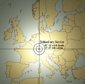 Rottweil is a small town in the south western part of Germany with about 25,000 inhabitants. It is roughly located 100 km south of Stuttgart, the capital of the Land Baden-Württemberg, between the mountains and hills of the Black Forest on the west side and the Swabian Alb on the East, at the upper course of the River Neckar. Rottweil is a small town in the south western part of Germany with about 25,000 inhabitants. It is roughly located 100 km south of Stuttgart, the capital of the Land Baden-Württemberg, between the mountains and hills of the Black Forest on the west side and the Swabian Alb on the East, at the upper course of the River Neckar.
It lies on a height of 597 m over the sea.
Its geographic location is:
North latitude: 48° 10'.
East Longitude: 8° 37'.
|
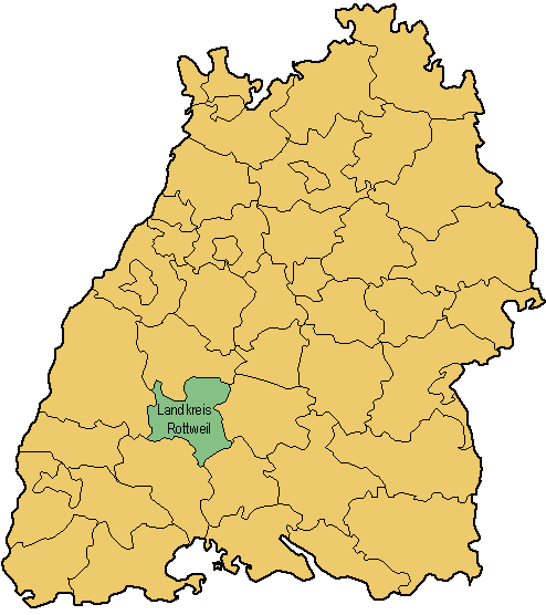
Rottweil is the administration seat of a Landkreis (equivalent to a district or a county), named "Landkreis Rottweil", which has approximately 140,000 inhabitants on an area of about 770 km˛.
More Information about it you can find under the topic "Landkreis Rottweil" in the menu on the right.
The political borders of the Kreise of Baden-Württemberg can be seen on the map on the right.
|  |
|
Map of Baden-Württemberg |
|